| Klewenalp: Descent to Gitschenen | |
| Home - Index - Random Photo |   |
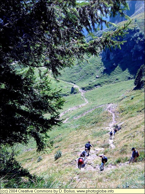
| A steep trail leads you down to Gitschenen. | ||
 |
||
|
Date: Sep 09, 2004 Longitude: 8° 30.00' Latitude: 46° 54.88'  
|
||
 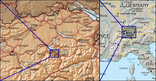 Map references: left: courtesy NASA, right: courtesy CIA. This page has been updated on: 2006-Sep-11 |
||