 |
Kalymnos: Looking towards Emporeios |
Album Overview
Photo Index
  |
|
More photos in the vicinity: Grande Grotta Telendos Roping Down from an Overhang |
Kasteli is visible on the right. |
|
|
Date: Sep 06, 2005 Longitude: 26° 56.46' Latitude: 37° 0.48'  
Show Photo Position in Google Maps |
||
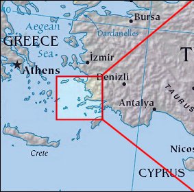 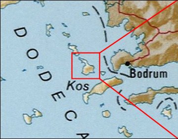  Map references: left: courtesy CIA, middle: courtesy US LoC Map Collection, right: courtesy NASA. This page has been updated on: 2007-Nov-08 |
||