 |
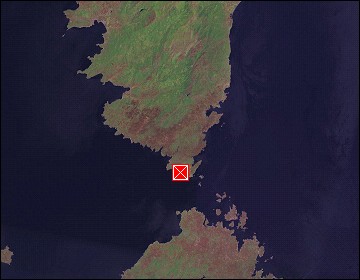
Corsica: Bay of Bonifacio |
Album Overview
Photo Index
  |
|
More photos in the vicinity: Bonifacio - Sand Grain Bonifacio - Stairway of King Aragon Bay of Bonifacio |
The bay of Bonifacio provides a natural harbour which is mainly used by yachts. |
|
|
Date: Sep 16, 2004 Longitude: 9° 9.39' Latitude: 41° 23.31'  
Show Photo Position in Google Maps |
||
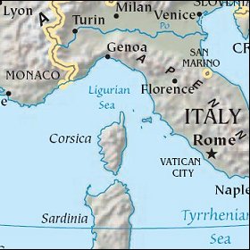   Map references: left: courtesy CIA, middle: courtesy US LoC Map Collection, right: courtesy NASA. This page has been updated on: 2007-Nov-07 |
||