 |
Gran Canaria: Artenara |
Album Overview
Photo Index
  |
|
More photos in the vicinity: Caldera Pinos de Galdár Caldera Pinos de Galdár II Tejeda |
Artenara is the highest town of the island. It is embedded into the slopes of the central hills (even literally because most of the buildings are carved out of the rocks). Artenara offers a spectacular view to the visitor. |
|
|
Date: Nov 24, 2004 Longitude: -15° 38.64' Latitude: 28° 1.13'  
Show Photo Position in Google Maps |
||
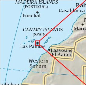 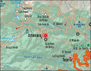 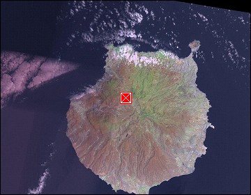 Map references: left: courtesy CIA, middle: courtesy Cicar, right: courtesy NASA. This page has been updated on: 2007-Nov-08 |
||