 |
Gran Canaria: Roque Bentaiga |
Album Overview
Photo Index
  |
|
More photos in the vicinity: Barranco de Tejeda The Peaks of the Canaries La Culata II |
The Roque Bentaiga (1412m) is one of the spectacular monoliths of the island. It was worshipped by the Guanches, the original population of Gran Canaria, and became their last resort when the Spanish conquered Gran Canaria. |
|
|
Date: Nov 23, 2004 Longitude: -15° 35.84' Latitude: 27° 58.63'  
Show Photo Position in Google Maps |
||
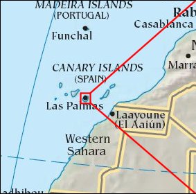   Map references: left: courtesy CIA, middle: courtesy Cicar, right: courtesy NASA. This page has been updated on: 2007-Nov-08 |
||