 |
Gran Canaria: Along the West Coast |
Album Overview
Photo Index
  |
|
More photos in the vicinity: Along the West Coast II Dedo de Dios Agaete |
A ride from Agaete to San Nicolas de Tolentino along the meandering costal road is probably the most exiting tour on the island.  |
|
|
Date: Nov 22, 2004 Longitude: -15° 42.60' Latitude: 28° 4.56'  
Show Photo Position in Google Maps |
||
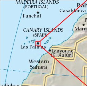 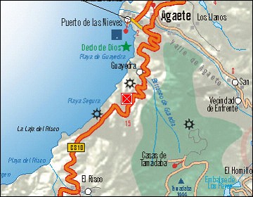  Map references: left: courtesy CIA, middle: courtesy Cicar, right: courtesy NASA. This page has been updated on: 2007-Nov-08 |
||