 |
San Francisco: Skyline II |
Album Overview
Photo Index
  |
|
More photos in the vicinity: Golden Gate Bridge at Sunset Alcatraz and East Bay Skyline |
In the middle of the picture you can see the Palace of Fine Arts, a big rotunda. |
|
|
Date: Dec 02, 2006 Longitude: -122° 28.21' Latitude: 37° 48.37'  
Show Photo Position in Google Maps |
||
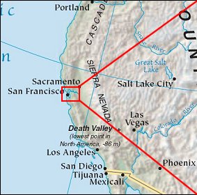 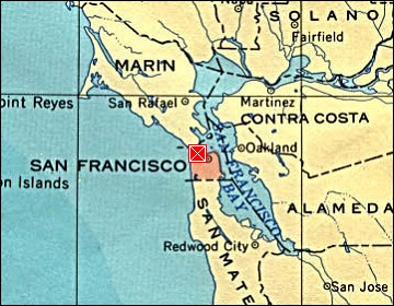 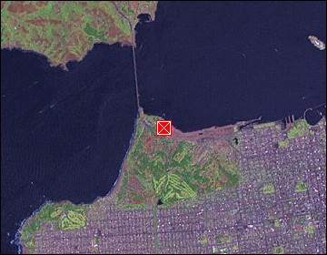 Map references: left: courtesy CIA, middle: courtesy US LoC Map Collection, right: courtesy NASA. This page has been updated on: 2007-Nov-09 |
||