 |
San Francisco: Harbour |
Album Overview
Photo Index
  |
|
More photos in the vicinity: Golden Gate Bridge and Harbour Telegraph Hill from Russian Hill The Crookedest Street |
These old iron sailing ships were once dominating the harbour of San Francisco. And traveling around Cape Horn or across the Pacific was for centuries the only viable route to the city. |
|
|
Date: Dec 02, 2006 Longitude: -122° 25.31' Latitude: 37° 48.46'  
Show Photo Position in Google Maps |
||
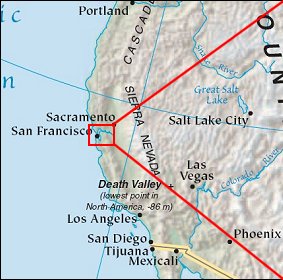 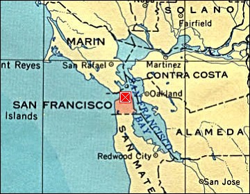 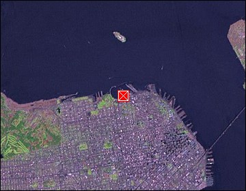 Map references: left: courtesy CIA, middle: courtesy US LoC Map Collection, right: courtesy NASA. This page has been updated on: 2007-Nov-09 |
||