 |
San Francisco: Bay Bridge |
Album Overview
Photo Index
  |
|
More photos in the vicinity: Ferry Terminal, Gate B Telegraph Hill New York I |
Connecting Oakland with San Francisco over a length of 7km the Bay Bridge is the most important connection between the east and west side of the San Francisco Bay. Opened for traffic in 1936 it was considerably damaged in the earthquake of 1989. |
|
|
Date: Dec 01, 2006 Longitude: -122° 23.63' Latitude: 37° 47.79'  
Show Photo Position in Google Maps |
||
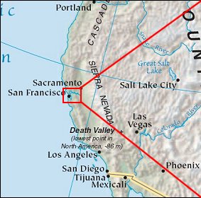 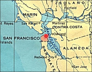 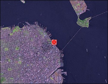 Map references: left: courtesy CIA, middle: courtesy US LoC Map Collection, right: courtesy NASA. This page has been updated on: 2007-Nov-09 |
||