 |
Sal: Ponta do Sinó and Santa Maria |
Album Overview
Photo Index
  |
|
More photos in the vicinity: Ponta do Sinó and Santa Maria Ponta do Sinó and Santa Maria Santa Maria seen from the Airplane |
Here we look at the southern end of Sal during the descent to Sal International Airport. The bay is home to Santa Maria, which is the third largest town of Cape Verde, and the largest town of Sal.  |
|
|
Date: Nov 23, 2007 Longitude: -22° 57.72' Latitude: 16° 35.55'  
Show Photo Position in Google Maps |
||
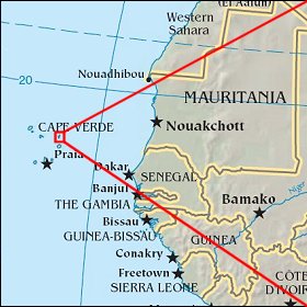 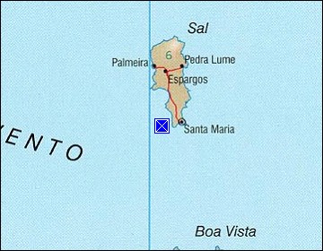 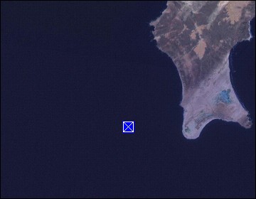 Map references: left: courtesy CIA, middle: courtesy US LoC Map Collection, right: courtesy NASA. This page has been updated on: 2011-Jul-28 |
||