 |
Fogo: Rebuilt Houses in the Lava Stream |
Album Overview
Photo Index
  |
|
More photos in the vicinity: Agaves at the East Coast of Fogo Coast north of Cova Figueira Agaves |
 |
|
|
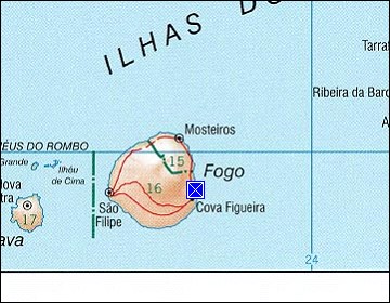
Date: Nov 21, 2007 Longitude: -24° 17.64' Latitude: 14° 54.58'  
Show Photo Position in Google Maps |
||
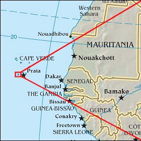   Map references: left: courtesy CIA, middle: courtesy US LoC Map Collection, right: courtesy NASA. This page has been updated on: 2011-Jul-28 |
||