 |
Fogo: Catholic Church of São Filipe |
Album Overview
Photo Index
  |
|
More photos in the vicinity: Cementary of São Filipe São Filipe Cemitery opf São Filipe |
 |
|
|
Date: Nov 19, 2007 Longitude: -24° 30.01' Latitude: 14° 53.61'  
Show Photo Position in Google Maps |
||
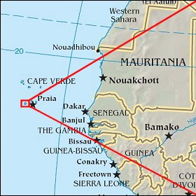   Map references: left: courtesy CIA, middle: courtesy US LoC Map Collection, right: courtesy NASA. This page has been updated on: 2011-Jul-28 |
||