 |
Bretagne: Plage de Les Rosaires |
Album Overview
Photo Index
  |
|
More photos in the vicinity: Pointe du Roselier Saint Laurent-de-la- Mer Pointe du Roselier between Saint-Laurent-de-la-Mer and Les Rosaires |
Leaving temporary footprints which the high tide will soon remove.  |
|
|
Date: Jun 08, 2008 Longitude: -2° 45.32' Latitude: 48° 33.89'  
Show Photo Position in Google Maps |
||
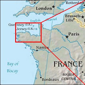 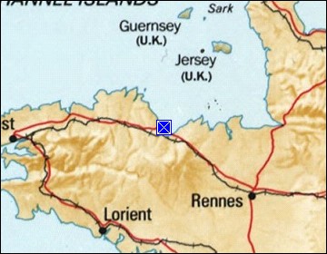 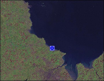 Map references: left: courtesy CIA, middle: courtesy US LoC Map Collection, right: courtesy NASA. This page has been updated on: 2009-Feb-03 |
||