 |
Stockholm: Riddarholmen |
Album Overview
Photo Index
  |
|
More photos in the vicinity: Kungliga Slottet Södermalm seen from Stadshuset Riddarholmen and Gamla Stan |
Riddarholmen, literally The Knights Islet, forms part of Gamla Stan, the old town, and houses a number of private palaces built in the 17th century. The main attraction of Riddarholmen is the church, Riddarholmskyrkan. |
|
|
Date: Jul 28, 2005 Longitude: 18° 3.12' Latitude: 59° 19.50'  
Show Photo Position in Google Maps |
||
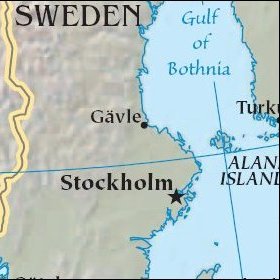 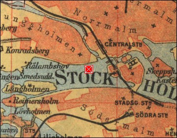 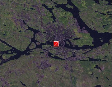 Map references: left: courtesy CIA, middle: historic map of 1912, right: courtesy NASA. This page has been updated on: 2007-Nov-08 |
||