 |
Venice: Sestiere Cannaregio |
Album Overview
Photo Index
  |
|
More photos in the vicinity: Sestiere Castello Main Entrance of San Michele San Michele |
 |
|
|
Date: Jul 14, 2007 Longitude: 12° 20.55' Latitude: 45° 26.51'  
Show Photo Position in Google Maps |
||
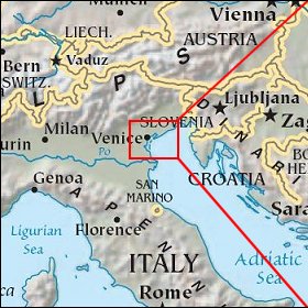   Map references: left: courtesy CIA, middle: courtesy US LoC Map Collection, right: courtesy NASA. This page has been updated on: 2007-Nov-08 |
||